Geo-fencing of lakes: A CSEI Lakes team initiative

Geo-fencing of lakes: A CSEI Lakes team initiative
CSEI - lakes initiatives team in association with Friends of lakes and Biome, is building a common database with the objective of making verified data concerning Bangalore’s lakes available to the citizens. One of the initiatives is to do the geo-fencing of lakes. The geographical scope is to cover all the urban lakes and parts of rural lakes, to the extent covered by the six toposheets pertaining to Bangalore.
Using the QGIS software, we intend to capture:
- New lakes that were not a part of the LDA database
- Encroachments
- Lakes that have disappeared
The program has received an encouraging response from the citizen groups. 30 volunteers have got trained on the QGIS module and soon will start working on the project.

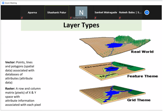
The volunteers were trained in QGIS on identifying lakes. This was done by teaching them how to create polygon shapes on the existing maps. The toposheets procured from Survey of India were used as reference maps.
